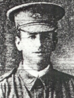
AITCHISON, A W
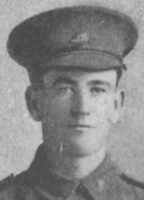
KINSELLA, R A
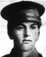
LEVIEN, C B
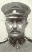
McMANAMEY, J W F
|
 |
|
 |
|
Source 11 -
CWGC |
|
Source 183 -
Photographic Expedition, 2009 |
| |
|
|
 |
|
 |
| Source 183 -
Photographic Expedition, 2009 |
|
Source 183 -
Photographic Expedition, 2009 |
| |
|
|
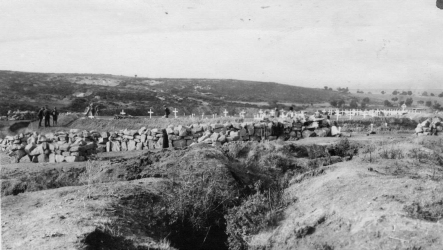
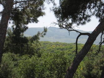
| Hill 60 (Kaiajik Aghyl,
or Sheepfold of the Little Rock), on the 60 metre contour
line, is the end of a range which runs South-Eastward to
Hill 100 between Kaiajik Dere and Asma Dere. Hill 60
Cemetery is reached along a 800 metre track, which requires
a 4-wheel drive vehicle during wet weather.
At the beginning of August 1915, Hill 60,
which commanded the shore ward communications between the
forces at Anzac and Suvla, was in Turkish hands. On 22
August, it was attacked from Anzac by the Canterbury and
Otago Mounted Rifles, followed later by the 18th Australian
Infantry Battalion and supported on the flanks by other
troops. It was partly captured and on 27-29 August, and the
captured ground was extended by the 13th, 14th, 15th, 17th
and 18th Australian Infantry Battalions, the New Zealand
Mounted Rifles, the 5th Connaught Rangers, and the 9th and
10th Australian Light Horse. The position was held until the
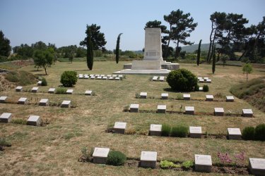
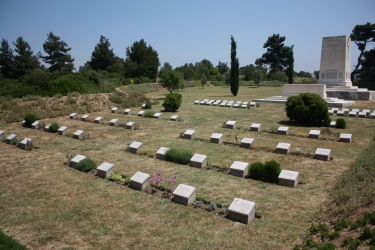
evacuation in December. Hill 60 Cemetery lies among the
trenches of the actions of Hill 60. It was made after those
engagements, and enlarged after the Armistice by the
concentration of graves from Norfolk Trench Cemetery and
from the battlefield. |
|
 |
| No. of Identified AIF
Casualties: 30 |
|


|
![]()
