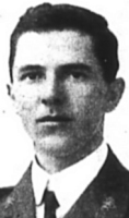
BOWRA, F D A
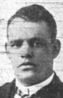
BULMER, R H
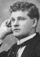
FREEBAIRN, W
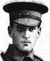
NICKLEN, E
|
|
 |
|
 |
|
Source 11 -
CWGC |
|
Source 183 -
Photographic Expedition, 2009 |
| |
|
|
 |
|
 |
| Source 11 -
CWGC |
|
Source 183 -
Photographic Expedition, 2009 |
| |
|
|
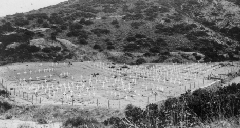
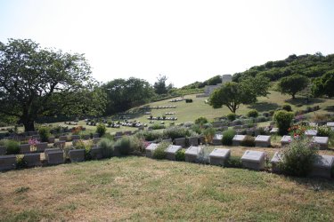
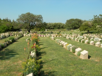
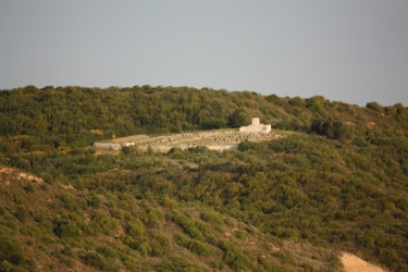
| Shrapnel Valley (or
Shrapnel Gully) runs from the west side of the Lone Pine
Plateau, behind Maclagan's Ridge, south-westwards to the sea
near Hell Spit (Queensland Point).
Shrapnel Valley was an essential road
from the beach up to the Anzac front and took its name from
the heavy shelling it was given by the Turks on 26 April
1915. Wells were sunk there and water obtained in small
quantities, and there were camps and depots on the south
side of its lower reaches. Gun positions were made near its
mouth. The cemetery was made mainly during the occupation,
but some isolated graves were brought in from the valley
after the Armistice. 85 of the burials are unidentified but
special memorials commemorate 23 casualties known or
believed to be buried among them. |
|
 |
| No. of Identified AIF
Casualties: 516*
* Walter HOPPER
(893) is commemorated on panel 13 at Lone Pine, he is also
buried in Shrapnel Valley Cemetery - grave III. E. 9. |
| |
|
 |
 |
|
THOMPSON, F H |
ZEISSER, P |
|
|


|
![]()